


| WELCOME | Articles on Historical Maps of Pennsylvania | WELCOME |
Pennsylvania in Old Road Atlases 1890 - 1910
|
|
1889 PA.-MD.-N.J.-DEL. ROAD BOOK, Fifth Edition 1889. The title page has: LEAGUE OF AMERICAN WHEELMEN ROAD BOOK OF PENNSYLVANIA, NEW JERSEY, MARYLAND, AND DELAWARE, AND THE PRINCIPAL THROUGH ROUTES OF NEW YORK, CONNECTICUT, MASSACHUSETTS, RHODE ISLAND, AND VIRGINIA. Fifth Edition 1889 based on the original editions compiled by Henry S. Wood, and revised and enlarged by the Road Book Committee of the Pennsylvania Division. The League of American Wheelmen (or L.A.W.) was founded in 1880 and quickly became a national organization. The first Pennsylvania edition of the road book appeared shortly thereafter, but when is not known. The preface from the first edition is included here, but not dated. If published yearly, a first edition in 1885 is indicated; however, subsequent editions were not always published yearly, see below. This booklet has about 260 numbered pages with directions for about the same number of routes, covering the states named in the title. Pages 102-103 show information on the route from Philadelphia to Pittsburgh, and the bulk of the pages are like this. The information given includes: distance between points, material of road, grade of road and condition at its best, turning directions. There are eight 4 x 6 inch maps attached to the back: Pennsylvania (shown at left), Philadelphia area, New Jersey, Newark, Maryland, New York City area, Staten Island, Long Island. A table of contents shows the list of routes, other sections include railroad information, topography, general riding advice, first aid, rights of wheelmen, an index. Size: 4 x 7 inches. 2687 |
|
|
1892 ROAD BOOK OF THE PENNSYLVANIA DIVISION, L.A.W., Sixth Edition 1892. The title page says: LEAGUE OF AMERICAN WHEELMEN ROAD BOOK OF PENNSYLVANIA, NEW JERSEY, MARYLAND, AND DELAWARE, AND THE PRINCIPAL THROUGH ROUTES OF NEW YORK, CONNECTICUT, MASSACHUSETTS, RHODE ISLAND, AND VIRGINIA. The cover on this copy, shown at left, has been taped around the edges; the 1893 edition below shows what it really looks like. This 245 page sixth edition is similar to the 1889 fifth edition above, but with fewer routes and maps. The layout of routes is illustrated by pages 94-95 , which describe a couple routes out of Pittsburgh. There are 5 maps attached at the back: Philadelphia area, Pennsylvania (shown at left), New Jersey, Maryland, New York City area. The larger ones are 7 X 12 inches, and the smaller half that. These maps differ from the previous edition and were prepared by G.W. & C.B. Colton & Co., New York. The general information sections in the booklet are identical to the previous edition. Size: 4 x 7 inches. 2622 |
|
|
1893 ROAD BOOK OF THE PENNSYLVANIA DIVISION, L.A.W., Seventh Edition 1893. The title page says: LEAGUE OF AMERICAN WHEELMEN ROAD BOOK OF PENNSYLVANIA, NEW JERSEY, MARYLAND, AND DELAWARE, AND THE PRINCIPAL THROUGH ROUTES OF NEW YORK, CONNECTICUT, MASSACHUSETTS, RHODE ISLAND, AND VIRGINIA.This edition has about 250 pages with directions for about 170 routes and is very similar to the 1892 edition. The route directions are the same and a route from Chambersburg to Pittsburgh is shown here from page 103. There are 6 maps attached to the back: Philadelphia, Fairmount Park (in Philadelphia and shown at left), Pennsylvania, New Jersey, Maryland, New York City area. The larger ones are 7 X 12 inches, and the smaller half that. All the maps, except the new map of Fairmount Park made by G.W. & C.B. Colton & Co., New York, are exactly the same ones used in the 1892 edition above. Size: 4 x 7 inches. 2568 |
|
|
1895 ROAD BOOK OF THE PENNSYLVANIA DIVISION, L.A.W., Eighth Edition 1895. Maccalla & Company, Printers, 237-9 Dock Street, Philadelphia. The title page has the full title of this League of American Wheelmen publication. This edition has about 200 unnumbered pages giving directions for 177 different routes covering Pennsylvania, New Jersey, and Delaware mostly. It is smaller than previous editions and the general information in those editions (railroad info, topography, riding advice, first aid, etc.) is gone. The route descriptions remain the same as Route 24 from Reading to Allentown shows. There are three maps at the back: Pennsylvania, Philadelphia area, and New Jersey. All the maps are 7 X 12 inches and are exactly the same maps that appeared in the 1892 and 1893 editions, so the Pennsylvania maps can be see above. As a change of pace, the New Jersey map is shown here at left. As well as fewer pages, the overall size is just slightly smaller than the previous editions at 3.75 x 6.5 inches; and some mice nibbling around the edges of this copy have made it even smaller. 1670 |
|
|
1897 BOOK 1 SOUTH EASTERN SECTION BEST ROUTES IN PENNSYLVANIA. The title page says: Prepared under the supervision of the Road Book Committee, Pennsylvania Division, L. A. W. by Frank H. Taylor, Philadelphia, Tenth Edition. There were four separate booklets in this 1897 edition as illustrated by the map on page 19: Book 2 for the northeast, Book 3 for the central, and Book 4 for the western part of the state. There must have been a ninth edition in 1896, but whether it included the wholesale redesign of this edition is not known. The discussion on pages 12-13 is not clear on this, although it appears the changes originated with this edition. This 80 page booklet from the League of American Wheelmen contains 21 local maps as listed on the bottom of page 14 . The maps are accompanied by the same type of route descriptions as in previous editions as illustrated by pages 38-39 . In the front is a large 17 x 16 inch folded map of the Philadelphia region with routes in color. The title is on the southern section (shown at left); while the untitled northern section is on the verso. It was lithographed by G.W. Bromley & Co., Philadelphia. Another major change with this edition is the inclusion of ads, which can be seen on some of the pages shown here. Size: 8.5 x 4.5 inches. 2586 |
|
|
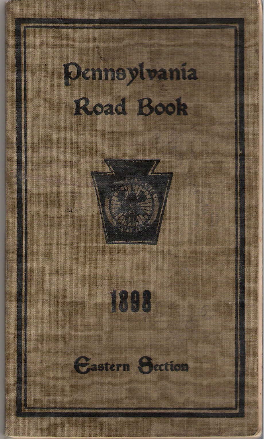
1898 PENNSYLVANIA ROAD BOOK 1898 EASTERN SECTION, compIled by W. West Randall, Chairman, and Carl Hering of the Road Book Committee of the Pennsylvania Division, L.A.W. from reports furnished by members throughout the State. There is a companion book for the Western section shown below. This publication presents routes using maps only, without the tables of the previous editions, and no edition number is attached to this book. An explanation for this new presentation is given in the Preface . This 103 page brownish cloth covered book contains about 80 pages of detailed road maps of eastern Pennsylvania, a few pages of Tours (i.e. Waynesboro, Pa. to Natural Bridge, Va for example), and a town index. The east is divided up into the 35 separate maps illustrated by the Key Map at left. The local maps cover the state from about Centre County east at a scale of 1 inch = 5 miles. These maps are all similar to this Map 13 of the Reading area. A list of maps and explanation key are given on pages 4-5 . Road conditions are indicated and some rail lines also shown. Size: 7.75 x 4.5 inches. 1683 |
|
|
1898 PENNSYLVANIA ROAD BOOK 1898 WESTERN SECTION, compIled by W. West Randall and Carl Hering of the Road Book Committee of the Pennsylvania Division, L.A.W. from reports furnished by members throughout the State. This 84 page book with a green cloth cover is a companion to the one above. The west is divided into the sections shown on the Key Map at left. There are 71 pages of detailed road maps of Western Pennsylvania, a few pages with Tours you can take (the same tours as the eastern book) and town index. The maps cover the state from Centre County west at a scale of 1 inch = 5 miles. They are all similar to the Reading area Map 13 shown above. Stone, or winter, roads are shown in bold line, dirt or summer roads in lighter line, and the condition indicated as good, fair, or bad. Unreported roads are in light broken line. Rail lines are also shown, so the itinerant bicyclist can get back home. Size: 7.75 x 4.5 inches. 1544 |
|
|
1900 PENNSYLVANIA ROAD BOOK - EASTERN SECTION, compIled by Carl Hering and Leon E. Fay of the Road Book Committee of the Pennsylvania Division, L.A.W. from reports furnished by members throughout the State. Copyright 1898 and 1900. This 127 page red cloth covered book has about 90 pages of detailed road maps of eastern Pennsylvania and is organized like the 1898 edition, but expanded for the southeast as shown in the Key Map at left. The map changes are indicated in red and the changes are discribed in a short preface . The scale of some maps has also been increased, for example this map of the Reading area can be compared to that of 1898 above. Some of the eastern maps and all of the western maps are unchanged, and for the rest of the state the bicyclist is referred to the 1898 editions. Size: 7.75 x 4.5 inches. 1351 |
|
|
1905 MENDENHALL'S GUIDE AND ROAD MAP OF PENNSYLVANIA Accompanied by six Detailed Maps of the country around Philadelphia, Pittsburg (sic), Harrisburg, Reading, Erie, Scranton, Wilkesbarre. Published by C. S. Mendenhall, Map publisher, illustrator and engraver. 512 Race Street, Cincinnati, O. There was an E. Mendenhall publishing maps of Ohio as early as 1863 and this is likely the same family. They began publishing biking guides, and the early booklets like this have a picture of a bike rider rather than an auto. This atlas has 16 pages of route directions for 112 numbered routes listed on the large fold-in map at the back; Mendenhall created his own route numbers. Numbered routes are in red on the map and other routes in black. The map has the same title as the booklet and is copyright 1900, 1905 by C.S. Mendenhall; so there may have been a 1900 edition of this booklet, but probably not. The booklet material is copyright 1905; and the 1900 map has been seen alone without a booklet. It differs from this one and was made for cyclists. The large Pennsylvania map is 18 x 32 inches and the city maps take up the rest of the 28 x 38 inch sheet. The back of the booklet has a list of other state maps available for the use of "touring automobilists, cyclists and wagon-road travelers." Size: 7 x 4.5 inches. 1239 |
|
|
1905 AUTOMOBILE GOOD ROADS AND TOURS, compiled and published by the Hartford Rubber Works Co., Hartford, Conn. This 400 page book has routes in the northeast including Pennsylvania, New York, New Jersey, Delaware, and New England except northern Maine; as shown in the coverage map at left. There are also a couple regional maps such as this one of Pennsylvania, plus a few other small inset maps. The rest of the book consists of detailed route descriptions between cities as shown here. This is one of the earlier auto road guides seen and a competitor to the Blue Book guides. Size: 9.5 x 5 inches. |
|
|
1906 THE AUTOMOBILE OFFICIAL 1906 BLUE BOOK, A Touring Guide to the best and most popular routes in the Eastern and Northern states, with a Canadian Section. Published by the Class Journal Company. Under the exclusive endorsement of the American Automobile Association. The Blue Books were synonymous with the AAA and absorbed into their publication system around 1930. This 782 page book has detailed driving directions for hundreds of numbered routes. The front has a northeast map, at left, with the routes covered. The directions are interspersed with small maps and ads. Pages 756-757 , 758-759 describe the route from Erie to Pittsburgh, followed by a description of the towns of Cambridge Springs and Meadville with maps. At the front is a scope and use statement , along with an ad for the White steam auto (See 1908 below). The blue books (and AAA) began around 1901, possibly as a periodical; and yes, the early ones like this had blue tinted pages. Size: 9.25 x 5.5 inches. 3264 |
|
|
1908 THE AUTOMOBILE OFFICIAL 1908 BLUE BOOK SECTION NO. 4 THE MIDDLE WEST. Published by the Class Journal Company. Under the exclusive endorsement of the American Automobile Association. This 370 page book covers the mid-west but includes western Pennsylvania as the route map at left shows. Section No. 3 covered all of the state plus New Jersey and points south, and is similar to the 1909 version shown below. This edition differs somewhat from the 1906 version; there is no large map. Detailed driving directions for many numbered routes are interspersed with small maps and ads. Pages 108-109 describe the route from Erie to Buffalo with a map of Erie. Size: 9.25 x 5.5 inches. |
|
|
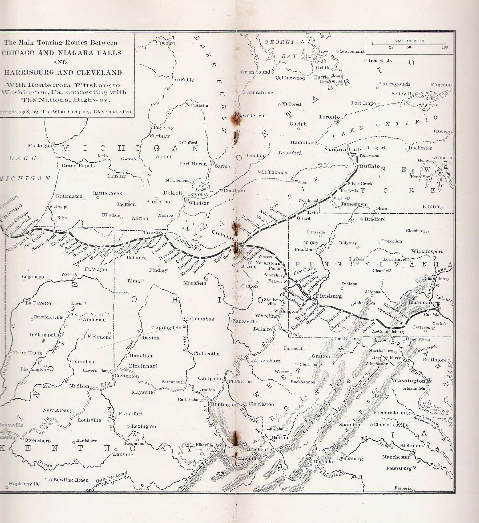
1908 WHITE ROUTE BOOK NUMBER SIX. Touring Bureau, The White Company, 1402 Broadway, New York City. This particular booklet has page numbers running from 206 to 267. The White Company of Cleveland manufactured steam motor cars from about 1900 to 1915. They issued a set of route books which described numbered routes between major cities. The Introductory is rather interesting. "In compiling this issue, a Jones Speedometer, with Veeder Odometer, was used." Books 2, 6, 7, 8 contain numbered routes through Pennsylvania. The sole map in the book, at left, shows the routes covered in this issue. Route Number 42 from Harrisburg to Gettysburg on pages 222-223 is shown here. Compare the Market Street toll bridge cost to that for The People's Bridge booklet shown under 1911. The cover photo shows a car crossing Raccoon Mountain near Chattanooga. Size: 10 x 5 inches. 2102 |
|
|
1908 WHITE ROUTE BOOK NUMBER SEVEN. Touring Bureau, The White Company, 1402 Broadway, New York City. This booklet has page numbers running from 274 to 339 and the double page map shows the routes covered. One route runs up to Niagara Falls, which is where the car on the cover is sitting. The back cover has a bird's eye view of the White factory in Cleveland. A tortuous Route Number 69 from Pittsburg (sic) to Cleveland requires 6 pages of prose to describe: 330-331 , 332-333, 334-335 . Size: 10 x 5 inches. 3386 |
|
|
1909 WHITE ROUTE BOOK NUMBER EIGHT. Touring Bureau, The White Company, 1402 Broadway, New York City. This booklet has page numbers running from 343 to 392, and the route shown on the map from New York to Richmond, and Staunton to Atlanta. The route crosses the Delaware at Trenton and runs down to Wilmington. The cover photo shows a toll gate near Wilmington. At this time, many of the improved roads and bridges were constructed and operated by private companies for profit. Once you paid, they would "turn the pike" and let you through. Route Number 73 from Philadelphia to Washington is described on pages 356-357, 358-359 , 360. The total distance is about 154 miles. Today, the same drive is about 140 miles, not much different. In 1910, White started making gasoline engine cars, but apparently too late to maintain the company. Size: 10 x 5 inches. 2103 |
|
|
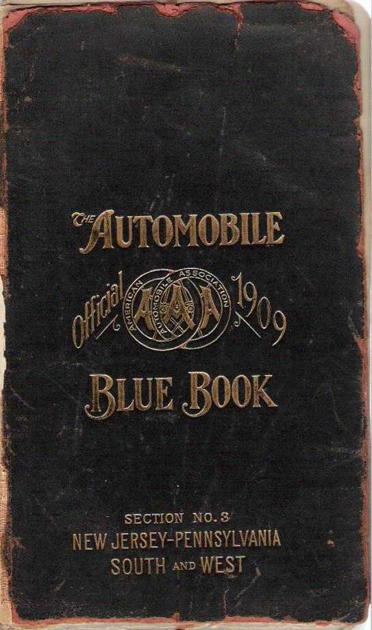
1909 THE AUTOMOBILE OFFICIAL 1909 BLUE BOOK SECTION NO. 3 NEW JERSEY-PENNSYLVANIA SOUTH AND WEST. Published by the Class Journal Company, 231-239 West 39th Street, New York City. This 625 page book has a number of page size route maps at the front, the one for Pennsylvania is shown at left. There is no large map. Detailed driving directions for many numbered routes are interspersed with small maps and ads. Pages 510-511 describe a portion of the route from Pittsburgh to Harrisburg with a map. Size: 9.25 x 5.5 inches. |
|
|
1909 COMMONWEALTH OF PENNSYLVANIA. STATE HIGHWAY DEPARTMENT. AUTOMOBILE LAW APPROVED APRIL 27, 1909. Harrisburg, Pa.: Harrisburg Publishing Co., State Printer. 1909. Although dated 1909 on the front, this small booklet contains an amendment in the back dated 1911, but here seems a better place to put it. This is not a road atlas and is a government publication to boot, but seems appropriate to include here. The cover pages are shown at left, and the act in its entirety is shown on pages 0-1 , 2-3, 4-5 , 6-7, 8-9 , 10-a1, a2 . The preamble states: "No. 174. AN ACT Relating to motor-vehicles; regulating their speed upon the public streets and highways of the Commonwealth of Pennsylvania; providing for their registration, and the licensing of operators, by the State Highway Department; establishing the rights of motor-vehicles upon the public highways, with relation to other vehicles; regulating the service of process and of proceedings in actions for damages arising therefrom; prescribing the penalties for violations of the provisions of this act, and providing for the disposition of fines imposed threreunder." There is no reference to any previous law or act covering autos; so the 1909 act may be the first. Size: 9 x 6 inches. |
|
|
1909 THE PENN-JERSEY AUTOMOBILE ROAD GUIDE AND ROUTE LIST, Containing Road Maps and Descriptive Routes covering the Principal Points in Pennsylvania, New Jersey and Delaware. Copyright 1909 by W. Nuneviller. This 80 page paper cover booklet contains many maps and route directions. The index map for Pennsylvania is shown at left and the map for district 11 is on pages 24-25 along with some ads. These maps are simplistic, just lines between cities. The route descriptions for Pennsylvania begin on page 33 . New Jersey and Delaware are treated similarly. Size: 10 x 6.75 inches. 2473 |
|
|
1909 MENDENHALL'S GUIDE AND ROAD MAP OF PENNSYLVANIA Accompanied by Detailed District Maps of country around Philadelphia, Pittsburg (sic), Harrisburg, Reading, Erie, Scranton, Wilkesbarre. C.S. Mendenhall, Map Publisher Cincinnati, O. This is a later edition of the Mendenhall 1905 guide shown above and is similar, except the price has jumped from 50 to 75 cents. The first page of text with route directions is still copyright 1905 and the 16 pages are identical. The large fold-out Pennsylvania map contains insets of the towns mentioned on the cover. This map has the same title as the booklet and is copyright 1900, 1905, 1909, but is the same 28 x 38 inch map used previously. On the back cover is a list of the maps published by Mendenhall "for use of TOURING AUTOMOBILISTS, CYCLISTS and WAGON ROAD TRAVELERS," and more maps are listed than in the 1905 edition. Size: 7 x 4.5 inches. 3379 |
|
|
1910 THE PENN - JERSEY AUTOMOBILE RED BOOK 1910 VOL. IV, Published by W. Nuneviller Company, 711 Walnut Street, Philadelphia, Pa. This is a later edition of the 1909 guide above, smaller and simpler in format with more pages. It has 132 pages tinged red (undoubtedly in imitation of the "Blue Books") with maps, ads, and road directions. Pennsylvania is divided into 13 districts with a map for each district and road directions between towns. An example of the road directions on pages 62-63 is shown here. The map for District 1 in the northwest is shown at left. The maps are crude, just lines between towns. The Empire Hotel ad at top (a hotel still in business) appears on several maps throughout the book. The same format is used for New Jersey. At the back is a section for the New York City area. At the front on page 7 is an abstract of Pennsylvania road laws, such as they were (See 1911). Size: 7.5 x 5 inches. 1221 |
|
|
1910 THE AUTOMOBILE OFFICIAL 1910 BLUE BOOK, VOLUME 3 NEW JERSEY - PENNSYLVANIA AND SOUTH EAST. Published by The Automobile Blue Book Publishing Co. This 800 page book has detailed directions for hundreds of numbered routes. In the front is the Pennsylvania map shown here with some of the routes. For example Route 435 goes from Bedford through Johnstown to Pittsburgh and is covered on pages 568-569 , 570-571, 572-573 , 574-575. The directions are interspersed with small maps and ads. Also in the front is this explanation on how to use the book. At this time Volume 1 covered New York, Volume 2 covered New England, this volume covers the Mid-Atlantic and parts of the south, Volume 4 covered the Mid-West out to Iowa. Size: 9.25 x 5.5 inches.2352 |
|
|
1910 SPLITDORF ROUTE BOOK MAPS AND ROUTES IN ALL STATES, C.F. Splitdorf, Walton Avenue and 138 Street, New York. Splitdorf made magnetos (or alternators) and one is pictured on the cover. The only date in the book is 1910 in an ad in the back, but it does not show state registration information for Arizona and New Mexico which dates it before 1912. In the front is an index of routes and cities. The book shows 13 pages of maps of the 46 states at the time, with the major roads. Pennsylvania is shown on pages 22-23 , 24-25, 26-27 . There are 605 routes listed . For example, pages 82-83 shows route 258 from Philadelphia to Wilkes-Barre as 128.7 miles with 10 intermediate points. In the back is an ad for a Splitdorf spark plug that is interesting. This is likely one of the earliest, if not the earliest, national road atlas to include all the states in one volume, as its title makes clear. Size: 9.5 x 4.25 inches. 4002 |
|
|
1910 GOODRICH ROAD SIGN ROUTE BOOK CLEVELAND TO ERIE, ERIE TO BUFFALO. This ten page booklet has a 24 X 18 inch foldout map prepared by the Automobile Blue Book Co. with a copyright date of 1910 shown at left. There is no date in the booklet itself, which contains photos, directions , and state law information. Besides the route, the map has insets of street maps for the three towns. Around this date, Goodrich apparently began to install route signs along the roads. The series of photos shows how Goodrich went about putting up their road markers, one of which is illustrated on the cover. The Goodrich route signs were apparently the earliest put up; the better known Rand McNally "trail markings" did not appear until around 1917. Size: 9.5 x 5 inches. 2040 |
Copyright 2009 by Harold Cramer.
All rights reserved.
Revised August, 2013; September, 2022.