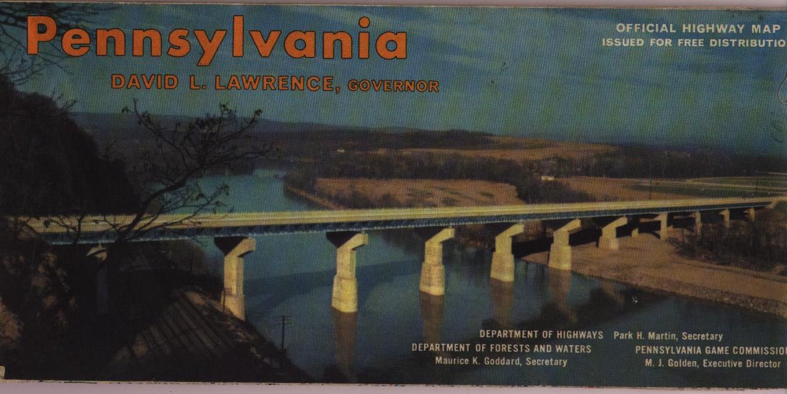
The state began using photos
in cover designs, few of which were attractive. The subject of
almost all of them was "concrete!"
 |
1960 |
 |
1960 The Pennsylvania Turnpike, Pennsylvania Turnpike Commission. Lawrence (1959-63) is governor, so this 11 x 17 inch brochure is from the early sixties. The map is relatively crude and similar to the late fifties maps. |
 |
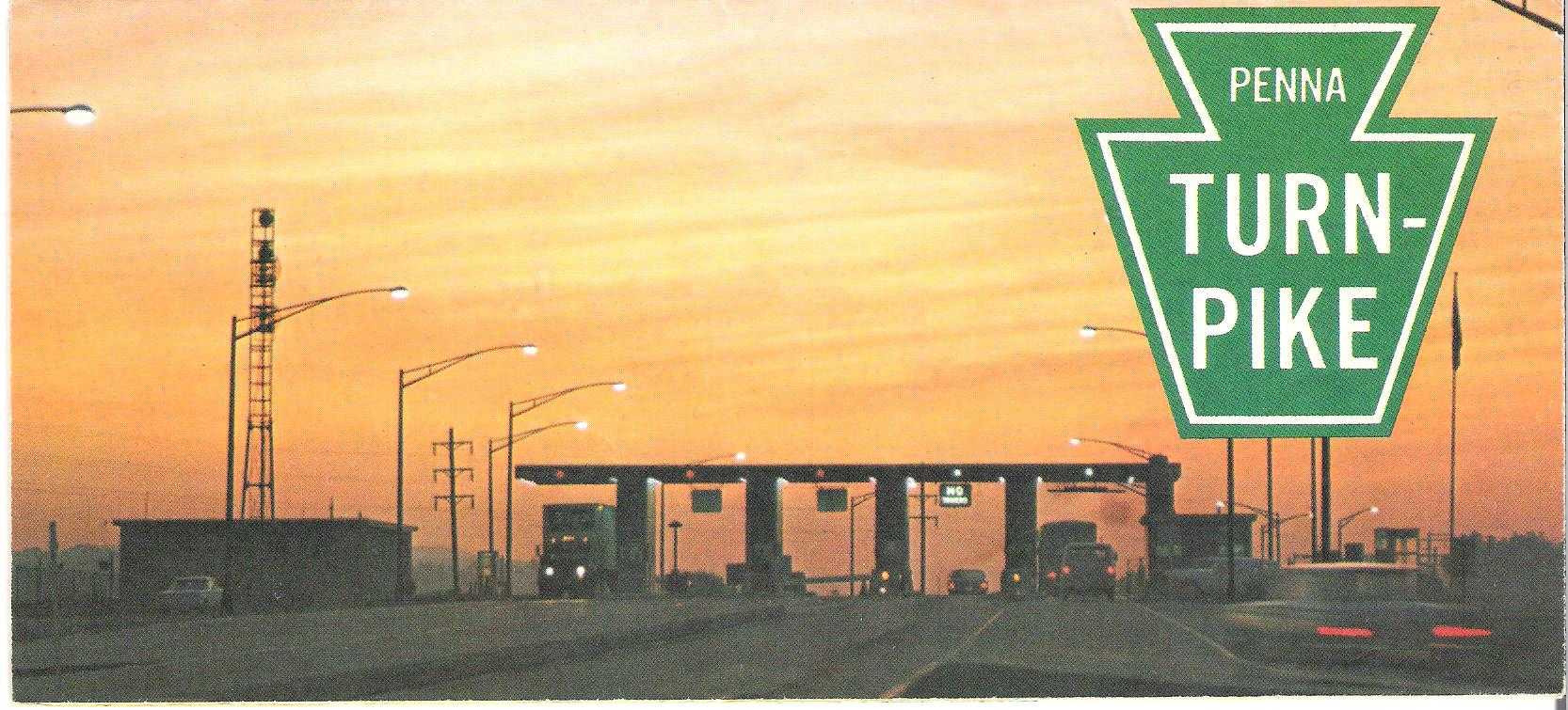
1961
Look at this cover. Why would it make anyone, besides a
civil engineer, want to visit Pennsylvania? |
 |
1961 The Pennsylvania Turnpike, Pennsylvania Turnpike Commission. This 11 x 17 inch brochure is from the early sixties and probably 1961. The map inside is essentially the same as the 1960 turnpike map above. There is another brochure like this with an orange motif which was also probably issue this year or in 1960. |
 |
1962
|
 |
1962 Your Personal Guide to The Pennsylvania Turnpike, Pennsylvania Turnpike Commission. This 11 x 17 inch brochure is probably from 1962. Again, the map inside is essentially the same as the 1960 turnpike map. |
 |
1963
William Scranton came from the family line for which the
town of Scranton is named. He is most famous for trying
to stop Barry Goldwater from getting the Republican
presidential nomination of 1964. This is the last map to
prominantly feature the name of the governor on the cover.
Advertising had moved elsewhere, mostly to television. |
 |
1963 The Pennsylvania Turnpike, Pennsylvania Turnpike Commission. This 11 x 17 inch brochure can be dated to 1963 by its reference to the Gettysburg battle anniversary and William Scranton as governor. And again, the map inside is essentially the same as the 1960 turnpike map. |
 |
1964
|
 |
1964 Penna Turnpike, Pennsylvania Turnpike Commission. This 11 x 17 inch brochure has the 1960-63 map design and so is thought to date to 1964. |
 |
1965 |
 |
1965 Penna Turnpike, Pennsylvania Turnpike Commission. This is an 11 x 16.5 inch brochure. The map inside is from Rand McNally and dated 1965. |
 |
1966
This is the first decent cover design in 10 years, but
the improvement didn't last long. Not coincidently, it
isn't a photo. |
 |
1966 What to see onThe Pennsylvania Turnpike, Pennsylvania Turnpike Commission. This is a 9 x 8 inch 12 page booklet. William Scranton is governor and it is thought to date from 1966. The middle pages have a 9 x 16 inch map. |
 |
1967 |
 |
1967 Penna Turnpike, Pennsylvania Turnpike Commission. This is an 11 x 16.5 inch brochure with Raymond Shaffer now governor. It has a Rand McNally map similar to the 1965 one except dated 1967. |
 |
1968
|
 |
1968 What to See on the Pennsylvania Turnpike, Pennsylvania Turnpike Commission. This is a reversion to the booklet style used for 1966 and the map inside is similar. There are two versions differing only in a change in a commission member, and it is dated based largely on that. |
 |
1969
This cover tried, but failed, to break away from the
concrete road mentality. Look at the small photo on the
left. |
 |
1969 Penna Turnpike, Pennsylvania Turnpike Commission. This is an 11 x 16.5 inch brochure with a Rand McNally map similar to the 1965, 1967 ones except dated 1969. |