 General
road map pickings are slim in the 80's. The only maps available
seem to be AAA.
General
road map pickings are slim in the 80's. The only maps available
seem to be AAA. | WELCOME | 1980's Road Maps of Pennsylvania | WELCOME |
General
road map pickings are slim in the 80's. The only maps available
seem to be AAA.
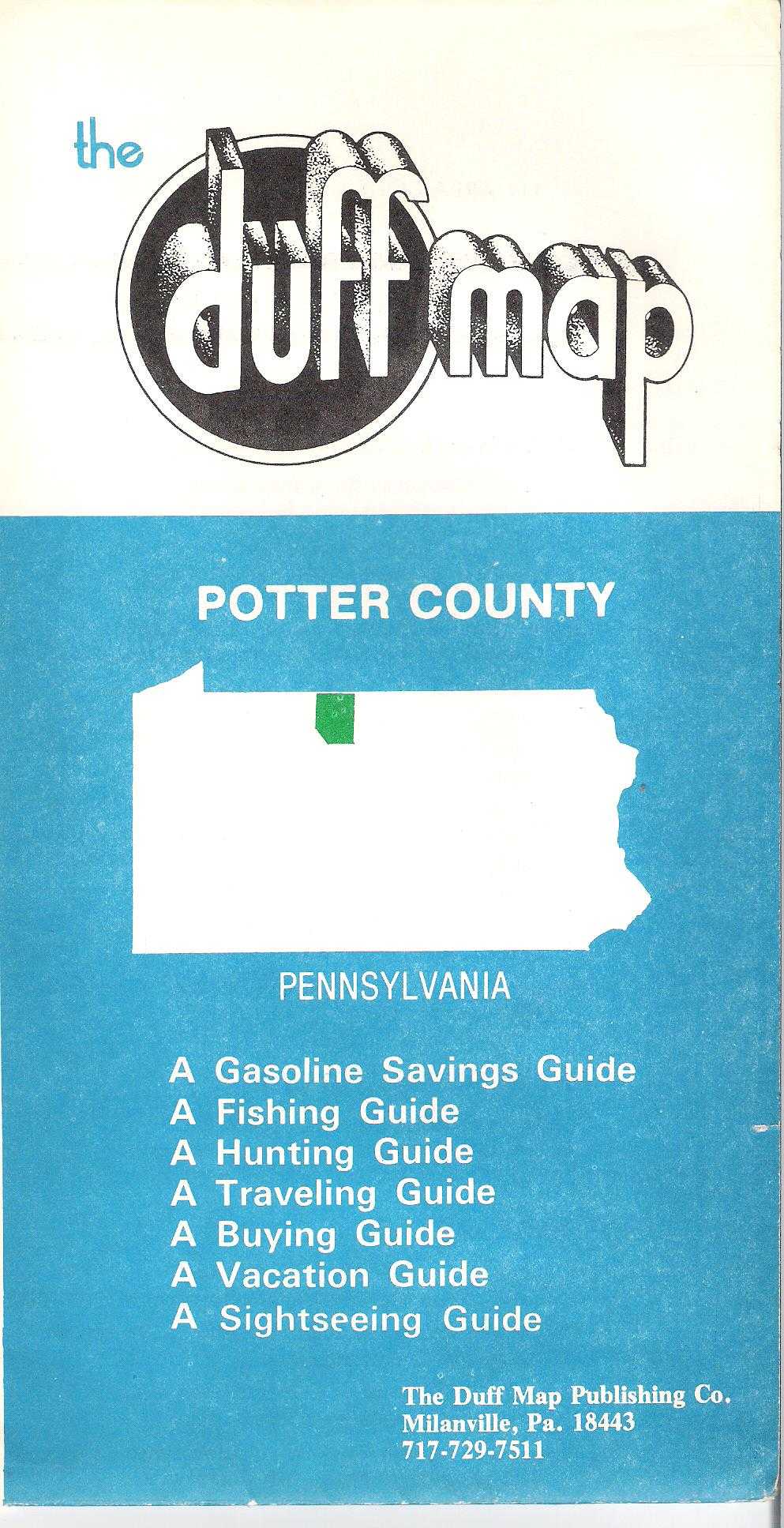 |
1980 THE DUFF MAP POTTER COUNTY. The Duff Map Publishing Co., Milanville, Pa. This undated map has a reference to 1979 in the text, so is dated circa 1980. It is basically a road map with text on the verso listing businesses. These 'Duff maps' were made for several counties along the Pennsylvania - New York border. Size: 19 x 25 inches. |
 |
1981 RAND MCNALLY. Since the oil companies were no longer buying their road maps to give away, Rand McNally started selling them direct to the public again like in the old days. |
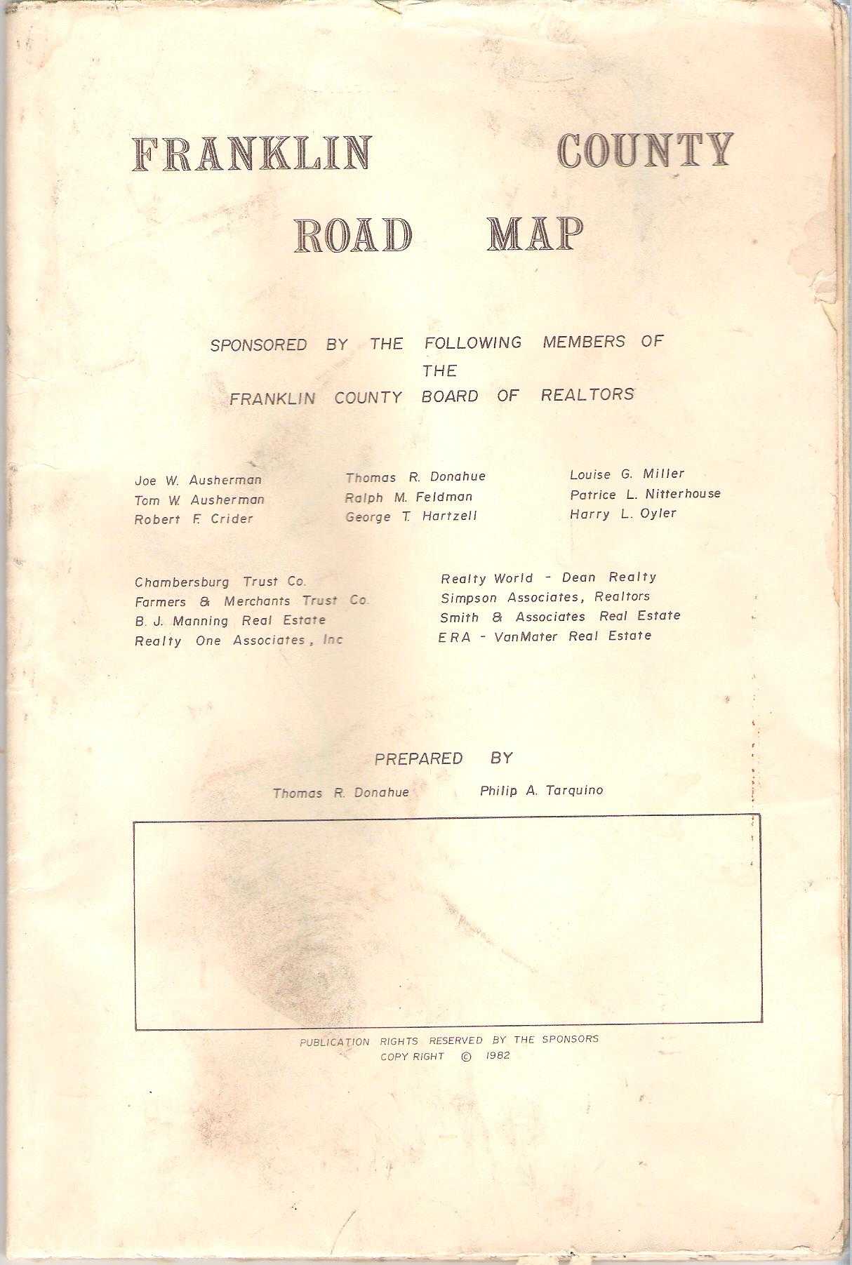 |
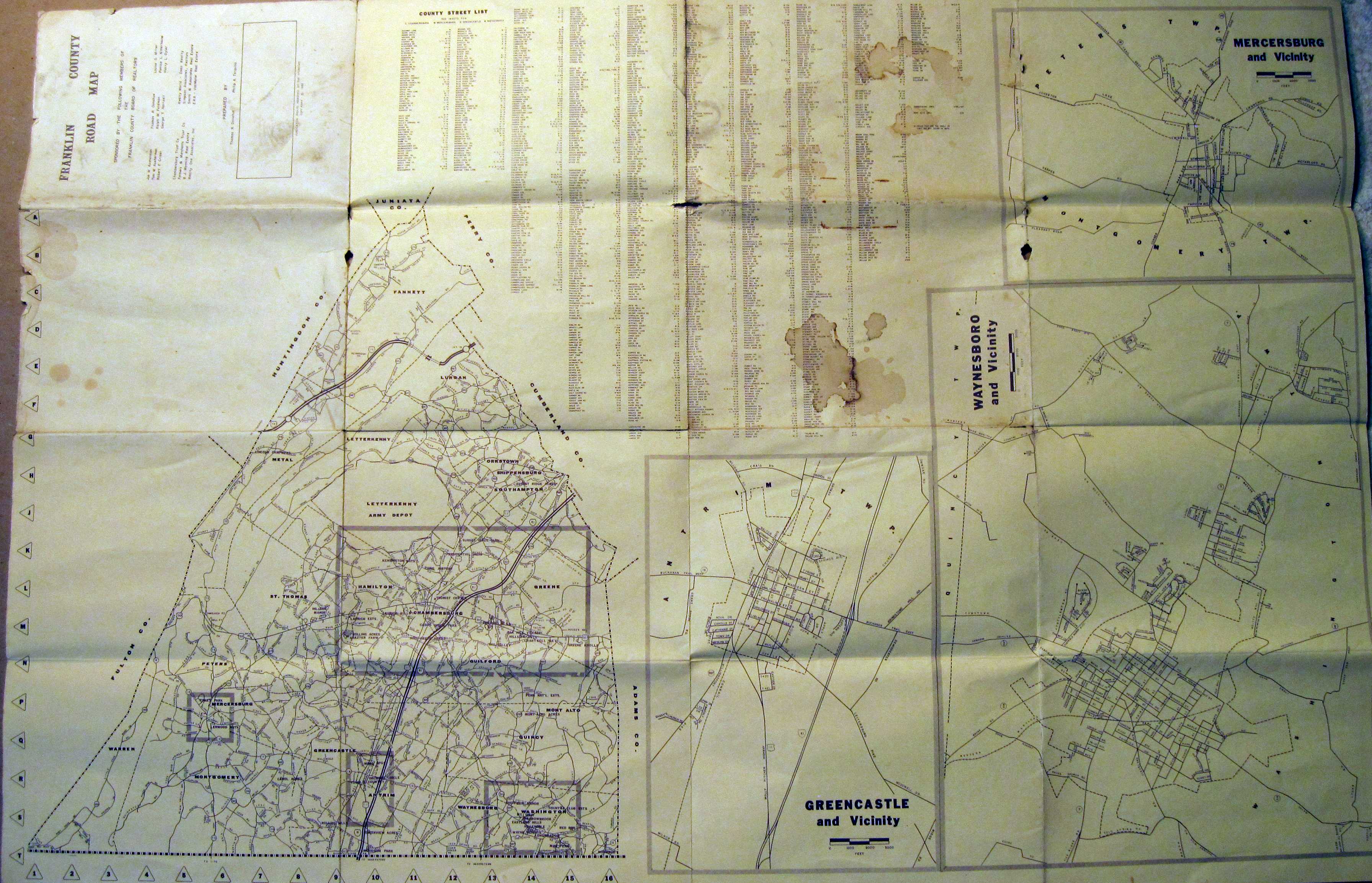
1982 FRANKLIN COUNTY ROAD MAP. Prepared by Thomas R. Donahue, Philip A. Tarquino. Sponsored by Franklin County Board of Realtors. For obvious reasons, realtors like to give out maps. This is a street map of Chambersburg on one side, with a street gazetteer, smaller maps of other boroughs, and a county map on the verso. Size: 24 x 36 inches. |
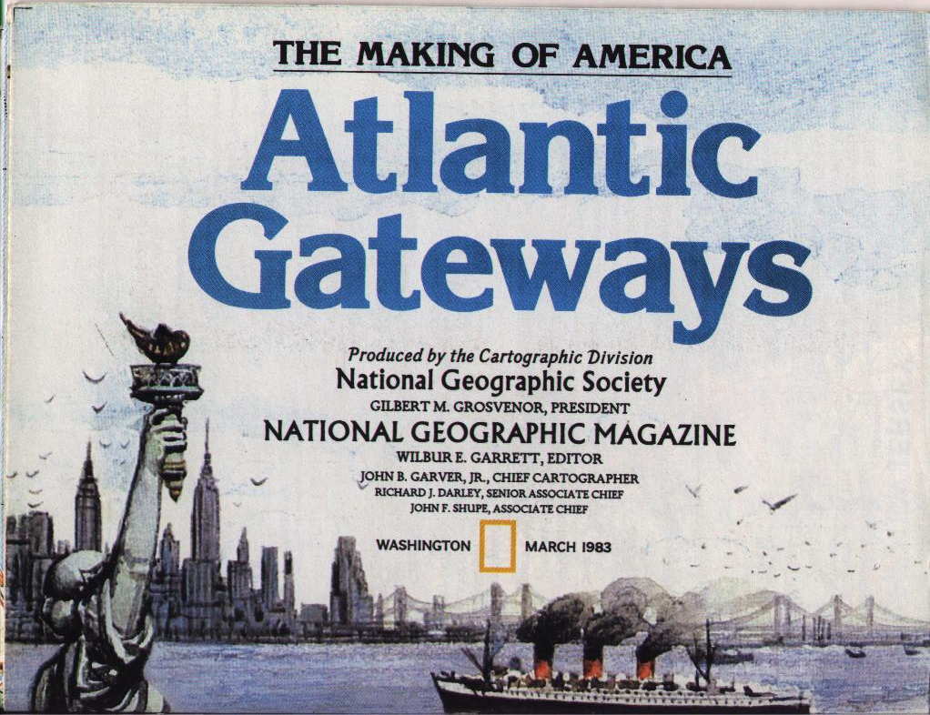 |
1983 THE MAKING OF AMERICA, a 17 map series published by the National Geographic Society from 1982 to 1988. In the 1970's NG published a series of maps called 'Close-up USA.' They then issued this set using the same cartography. The map of Pennsylvania is called Atlantic Gateways and includes New York, New Jersey, Delaware and Maryland. |
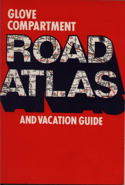 |
1984 GLOVE COMPARTMENT ROAD ATLAS AND VACATION GUIDE, by Hammond Inc., Maplewood, NJ. A 48 page road atlas of the United States and Canada. The Pennsylvania page is shown in the Map Image . With the demise of free oil company road maps, road atlases became more popular. Among the biggest distributors were Rand McNally (see top of page), AAA and Hammond. |
 |
1985 H. M. GOUSHA. When the oil companies stopped buying their maps Gousha, like Rand McNally, resumed selling them directly to the public. This is a very nice figurative image of a cloverleaf intersection. Rand McNally bought the assets of Gousha and closed them in1996. The Map Image shows Gousha's mid-80's work. |
 |
1986 AAA. |
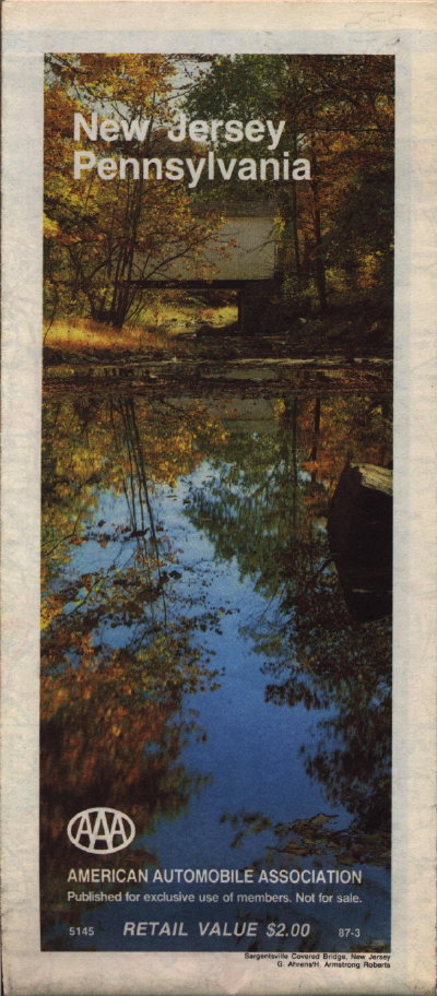 |
1987 AAA. |
 |
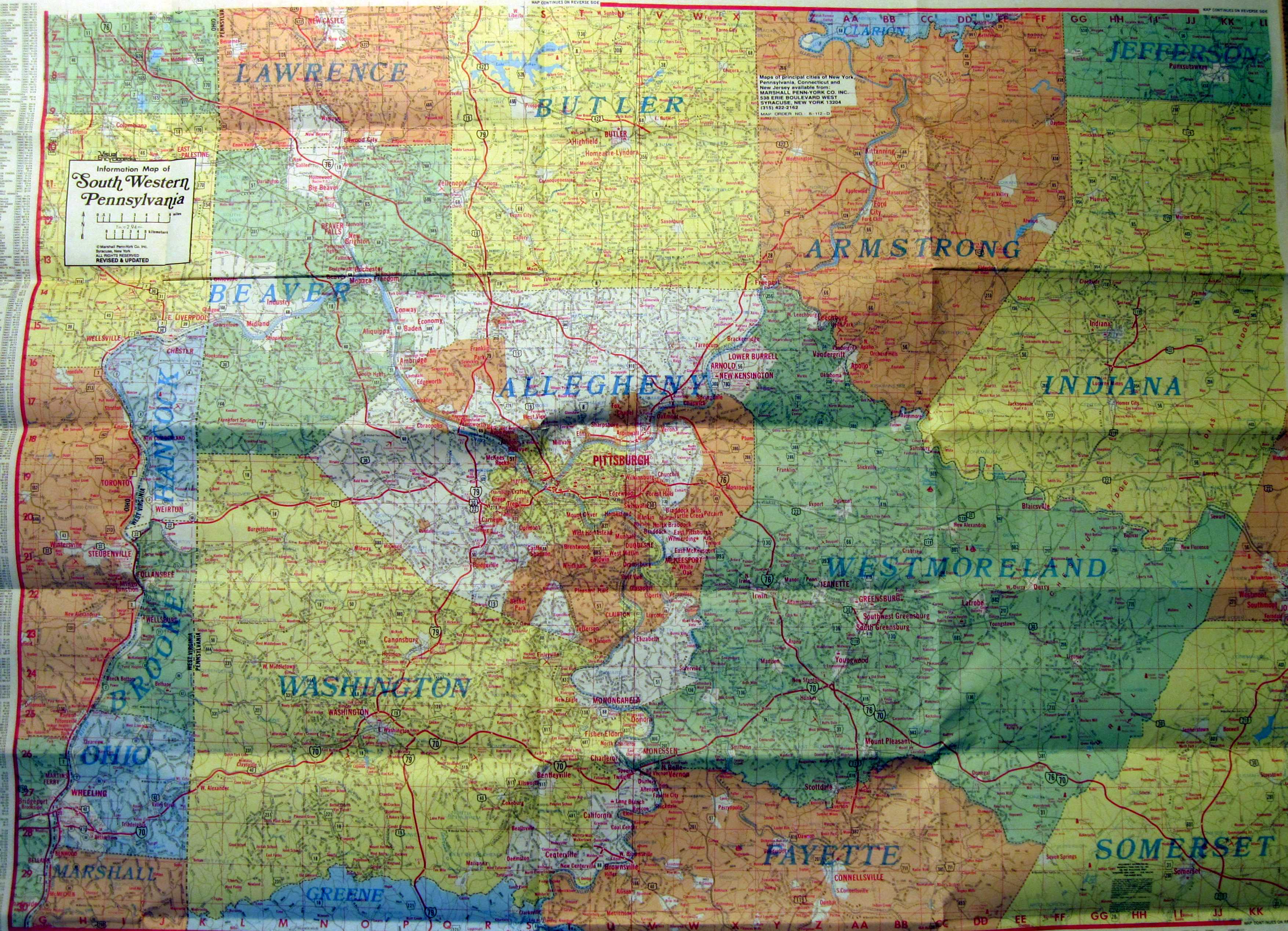
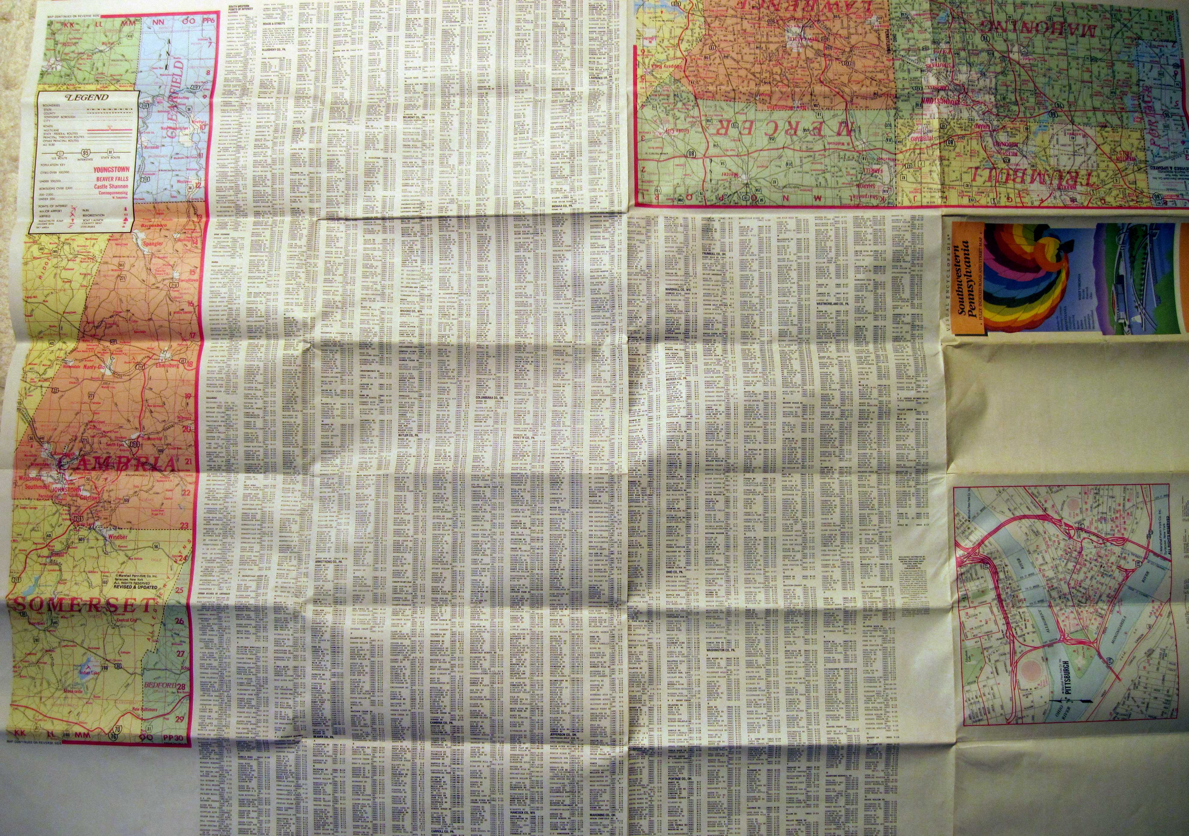
1988 SOUTHWESTERN PENNSYLVANIA. Visual Encyclopedia, Copyright Marshall Penn-York Co., Syracuse, NY. This map is undated, but a similar map of Pittsburgh is dated 1988, so that date is used for this one. It has a rather detailed street and road layout with an accompanying gazetteer surrounding the map and continuing on the verso. Size: 29 x 42 inches. |
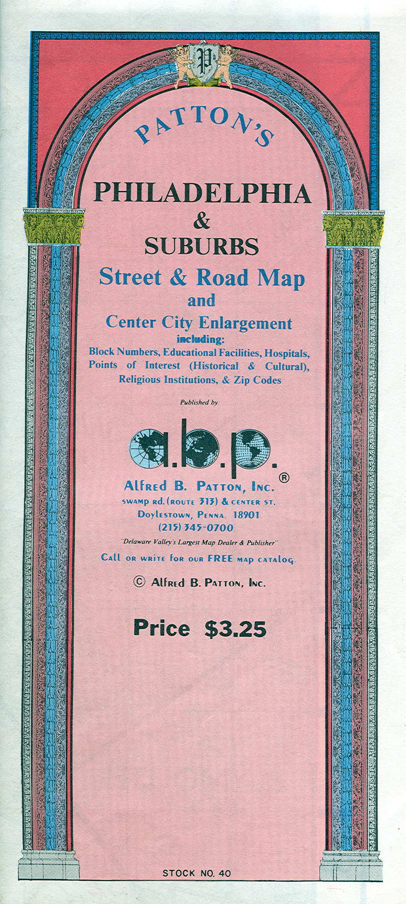 |
1989 PATTON'S PHILADELPHIA & SUBURBS STREET & ROAD MAP AND CENTER CITY ENLARGEMENT, by Alfred B. Patton Inc., Doylestown, Penna. This is a large (45 x 35 inches) and detailed road map of the entire Philadelphia area on one side and a street gazetteer on the other. There is also a large scale center city layout with individual buildings identified; an excellent map for Philadelphia area drivers and tourists. |
| General Road Maps | Early Maps | 1900's | 1910's | 1920's | 1930's |
| 1940's | 1950's | 1960's | 1970's | 1980's | 1990's |
| Home Page | Road Maps | Oil Company Road Maps | State Road Maps | References |